Pre-Watermarked and Cited Asset Packs
Download ready-to-use visualization packages for each analysis date. Visit any date analysis page (such as 2023-10-07) and download the complete asset archive for that date.
How to Use It
Use these images for whatever your use case may be. Use them in YouTube videos, blogs, broadcast TV, or otherwise. Learn more from our FAQs.
What’s Included
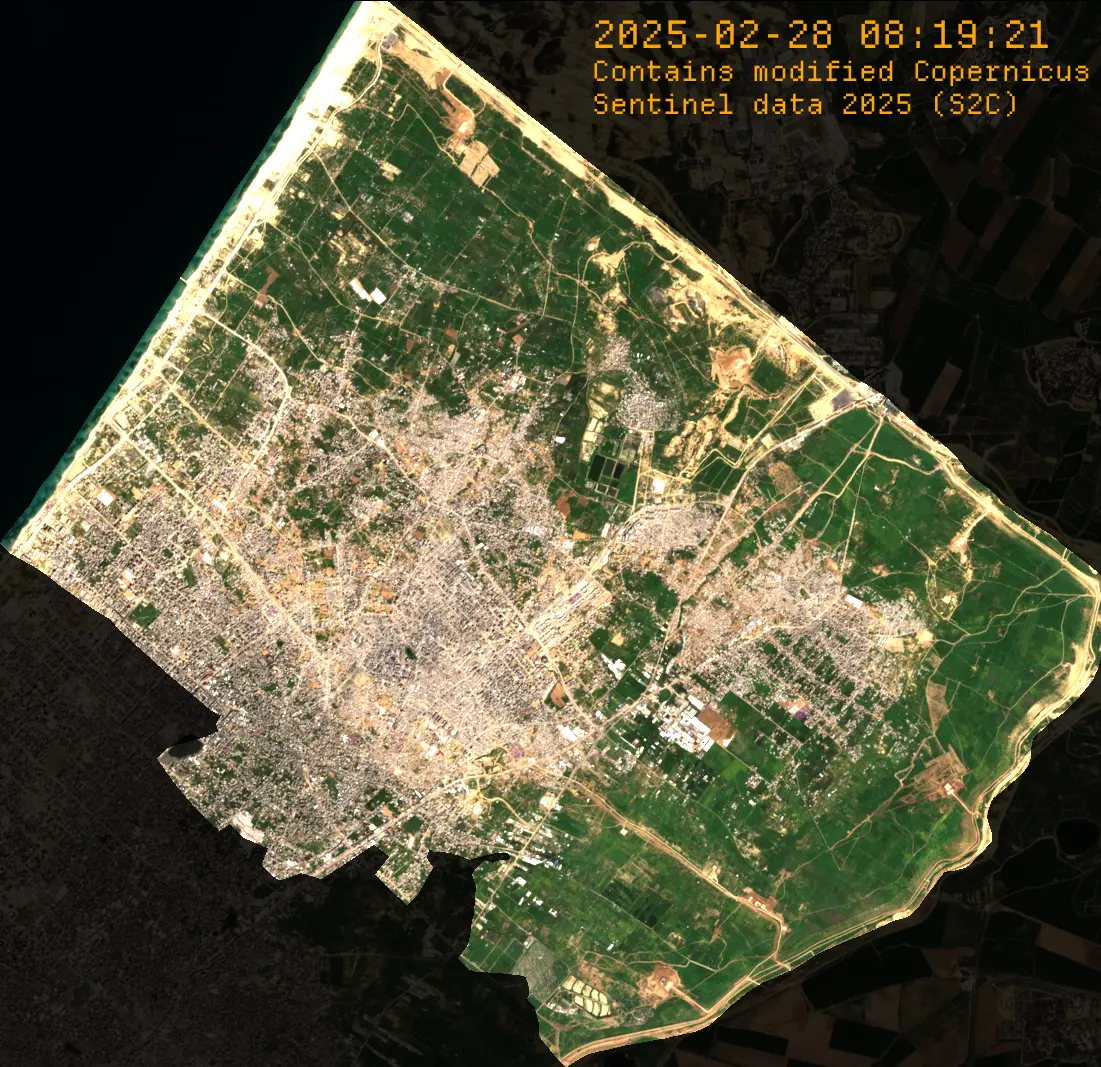
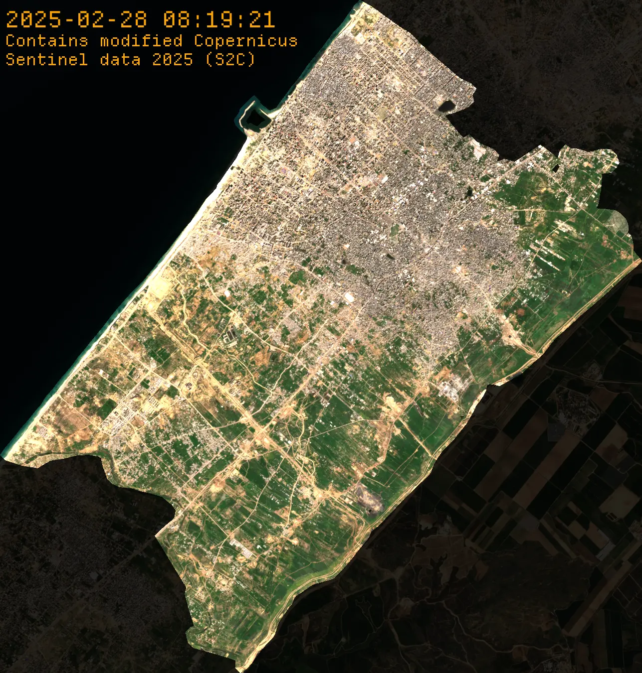
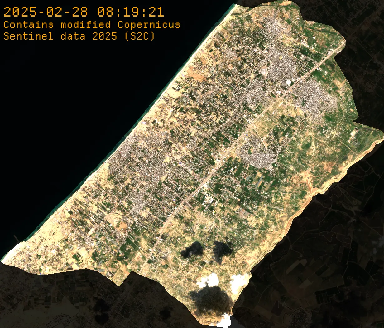
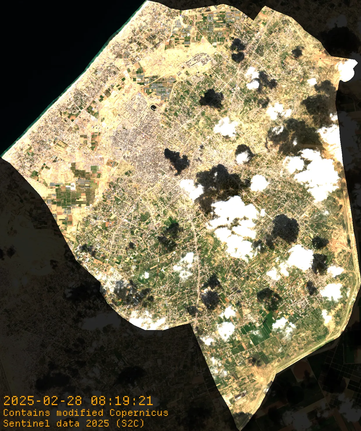
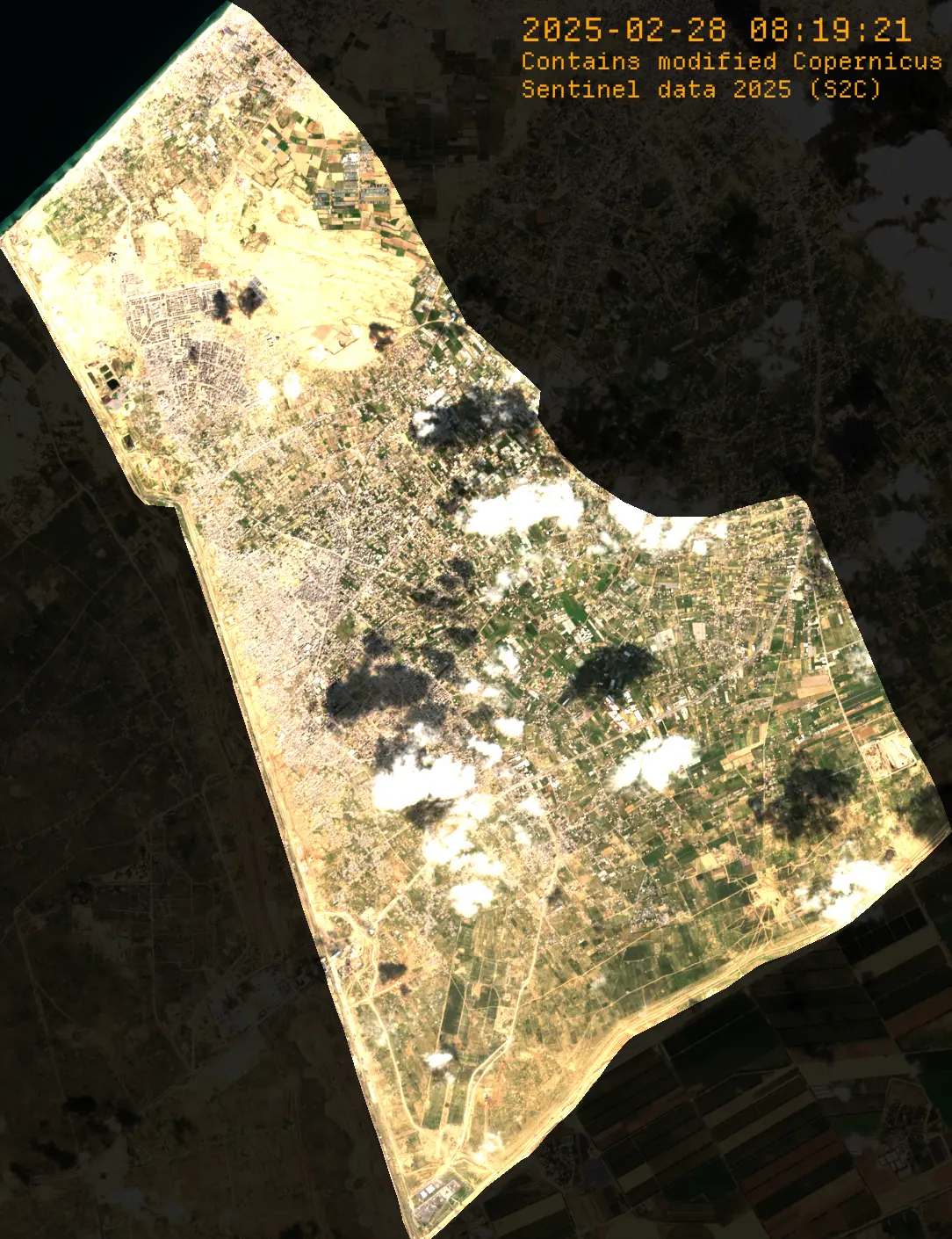
Each archive contains four types of satellite imagery visualizations. For every visualization type, we provide imagery for the full Gaza Strip as well as five individual districts (North Gaza, Gaza, Deir al Balah, Khan Younis, and Rafah).
For each region, the pack includes:
- 1 unwatermarked GeoTIFF (
.tif) - 1 watermarked PNG at full 10m resolution (Orange DepartureMono font)
- 1 JSON metadata file containing bounding boxes and image statistics
Each visualization folder also includes ready-to-use MLA and Chicago citation text files.
Visualization Types
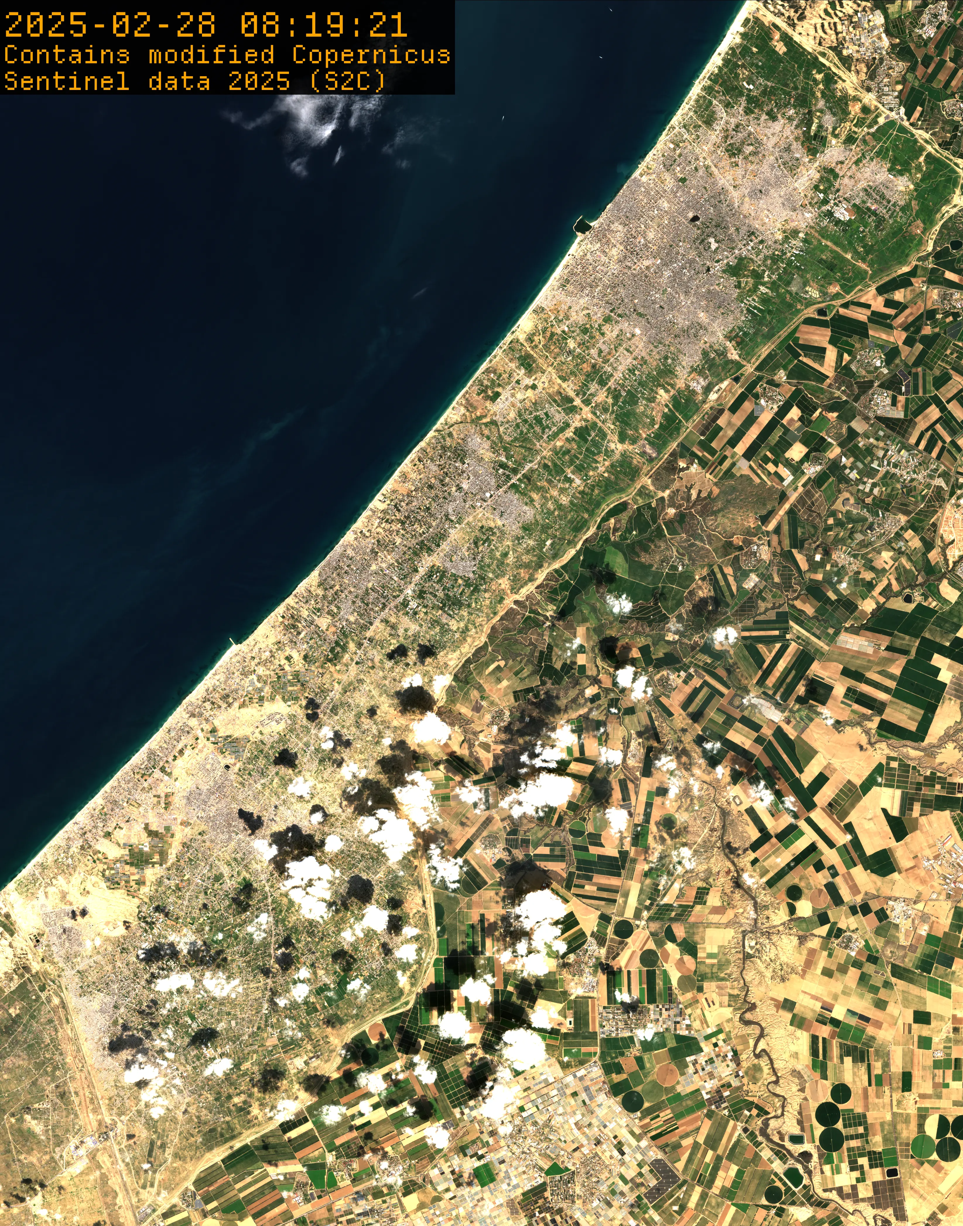
Plain True Color Images (plain_tci/) — Unmodified Sentinel-2 L2A imagery cropped to Gaza’s rectangular bounds.
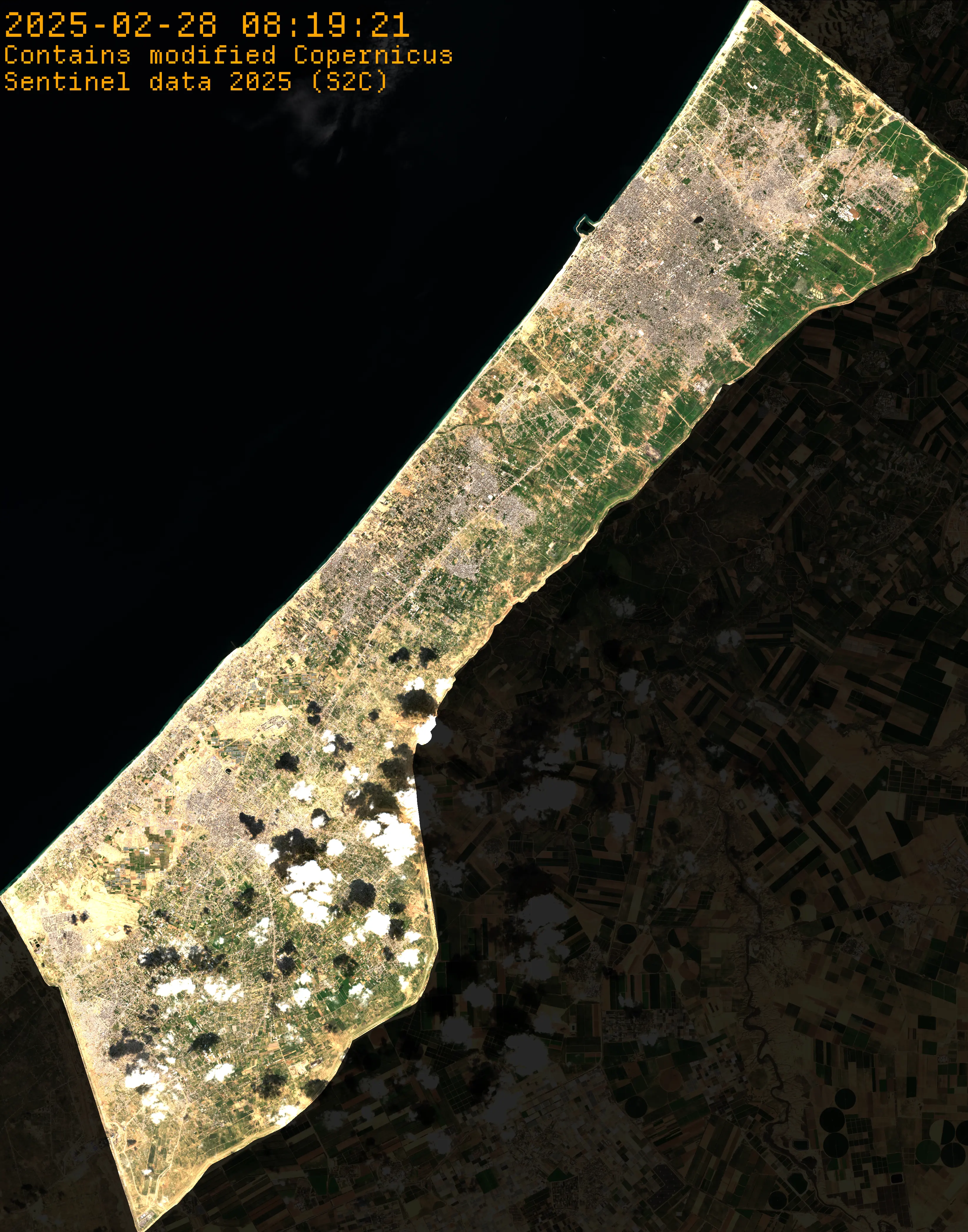
Cropped True Color Images (cropped_tci/) — True color imagery with areas outside Gaza’s border replaced by transparency.
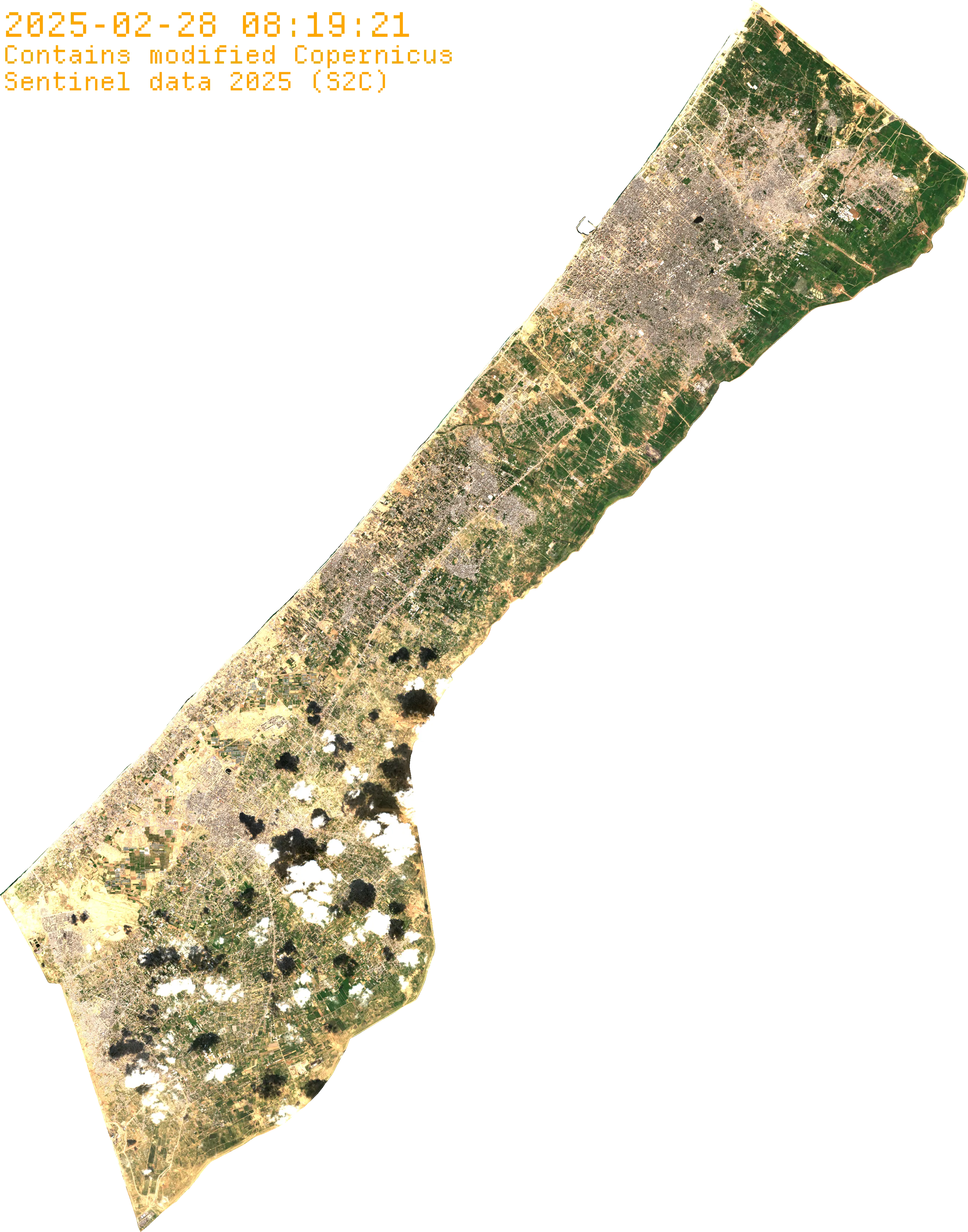
Faded True Color Images (faded_tci/) — True color imagery with exterior areas significantly faded.
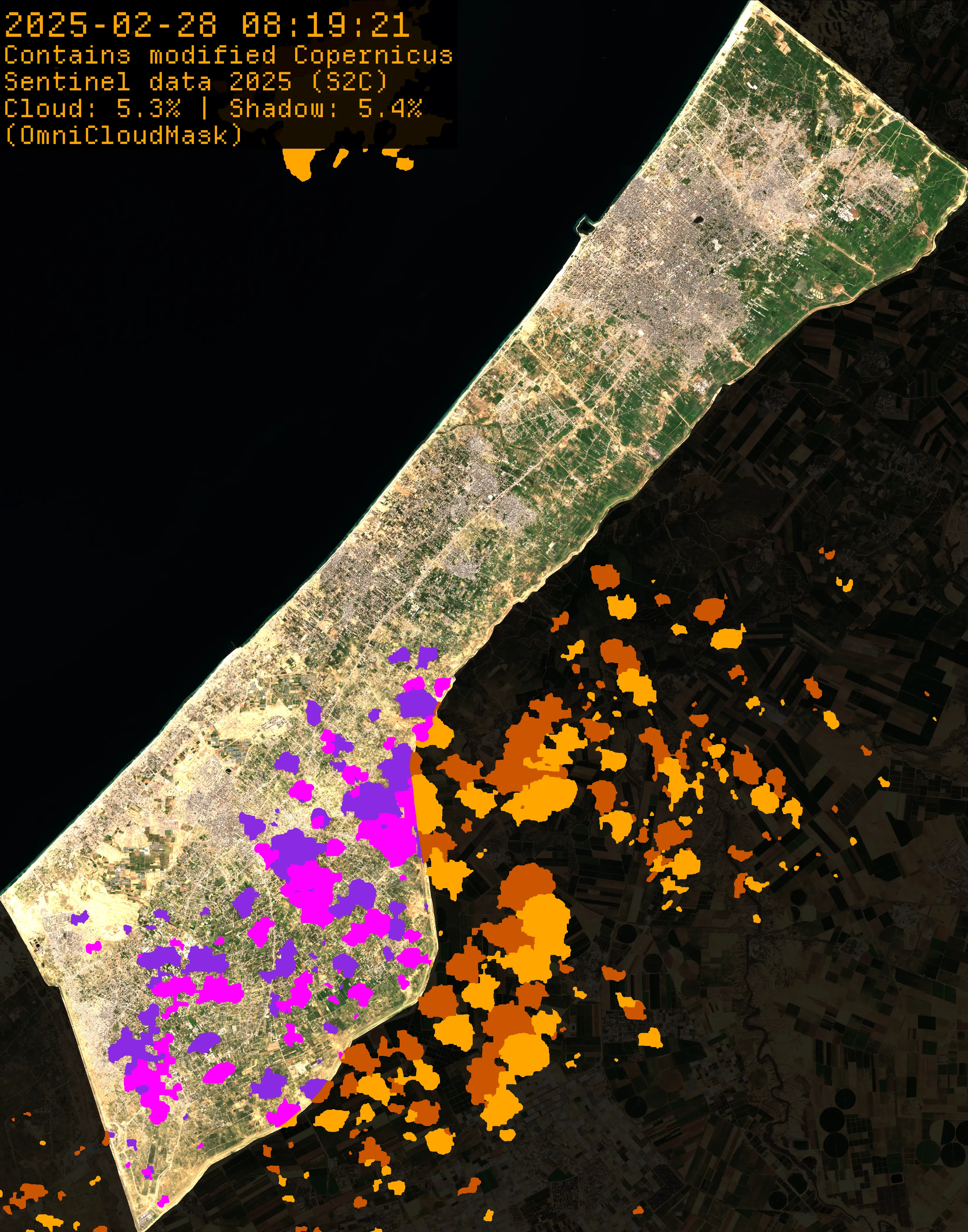
Cloud & Shadow Overlay Images (cloud_shadow_masks/) — Visualization overlays showing cloud and shadow coverage with percentages included in the watermarks.
Attribution
All watermarked images include proper Copernicus Sentinel-2 attributions with date, time, and satellite identifier. Citation files in MLA and Chicago formats are included for academic use, and GeoTIFF files contain full metadata for GIS applications.
If there is something missing from these assets that you would like us to generate, please reach out at [email protected].