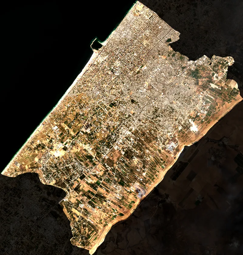
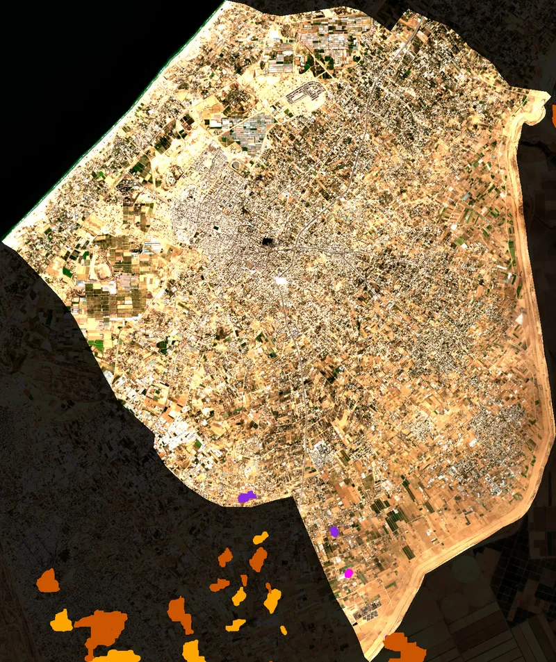
Coverage Analysis: 2023-10-07
Sentinel-2 Cloud Mask Overlay Visualization
⚠️ 6.9% Total Contamination
☁️ 5.9% Cloud Cover
🌑 1.0% Shadows
🛰️ S2A
📐 10m/Pixel
📖 Cite Me
📍 Gaza
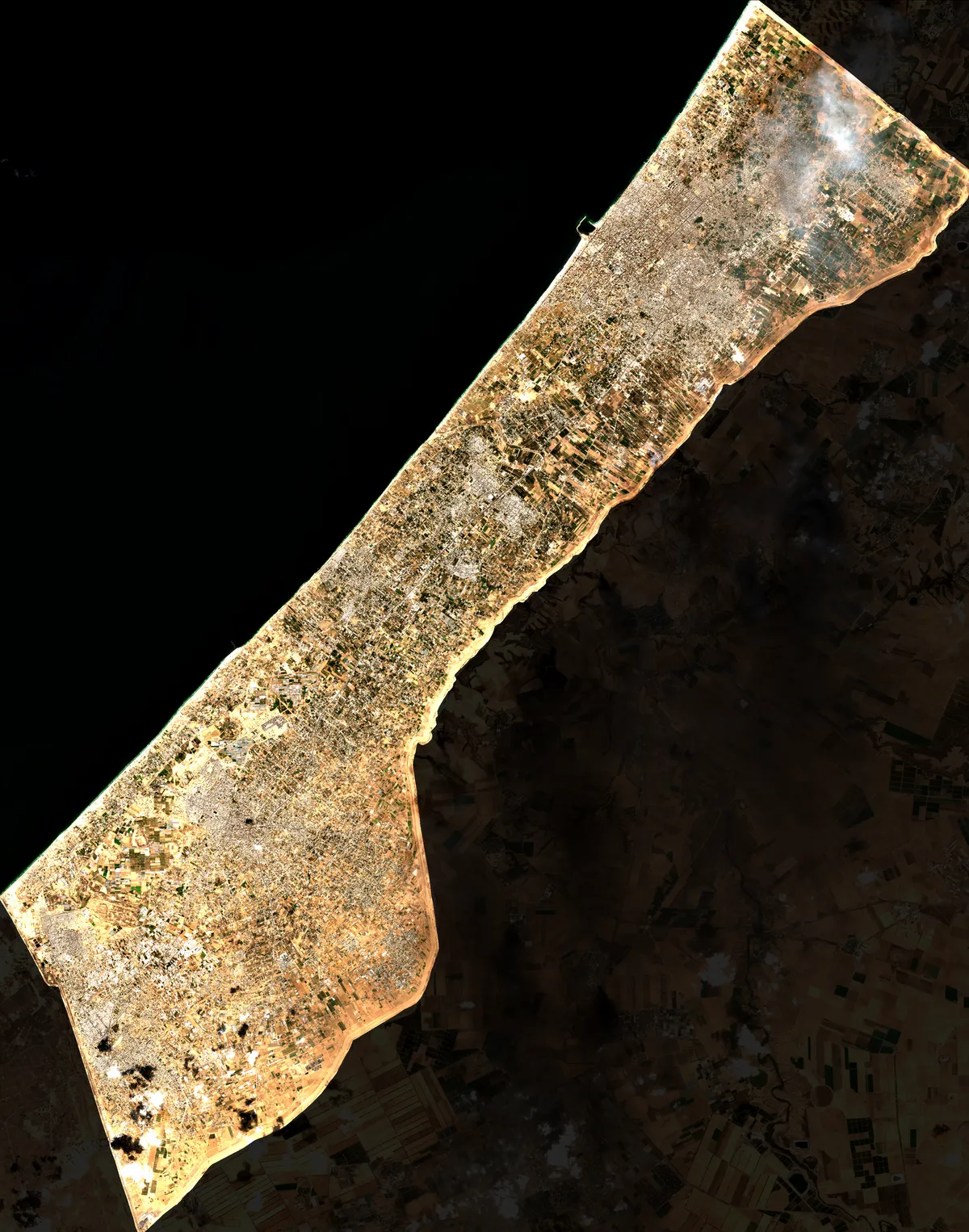
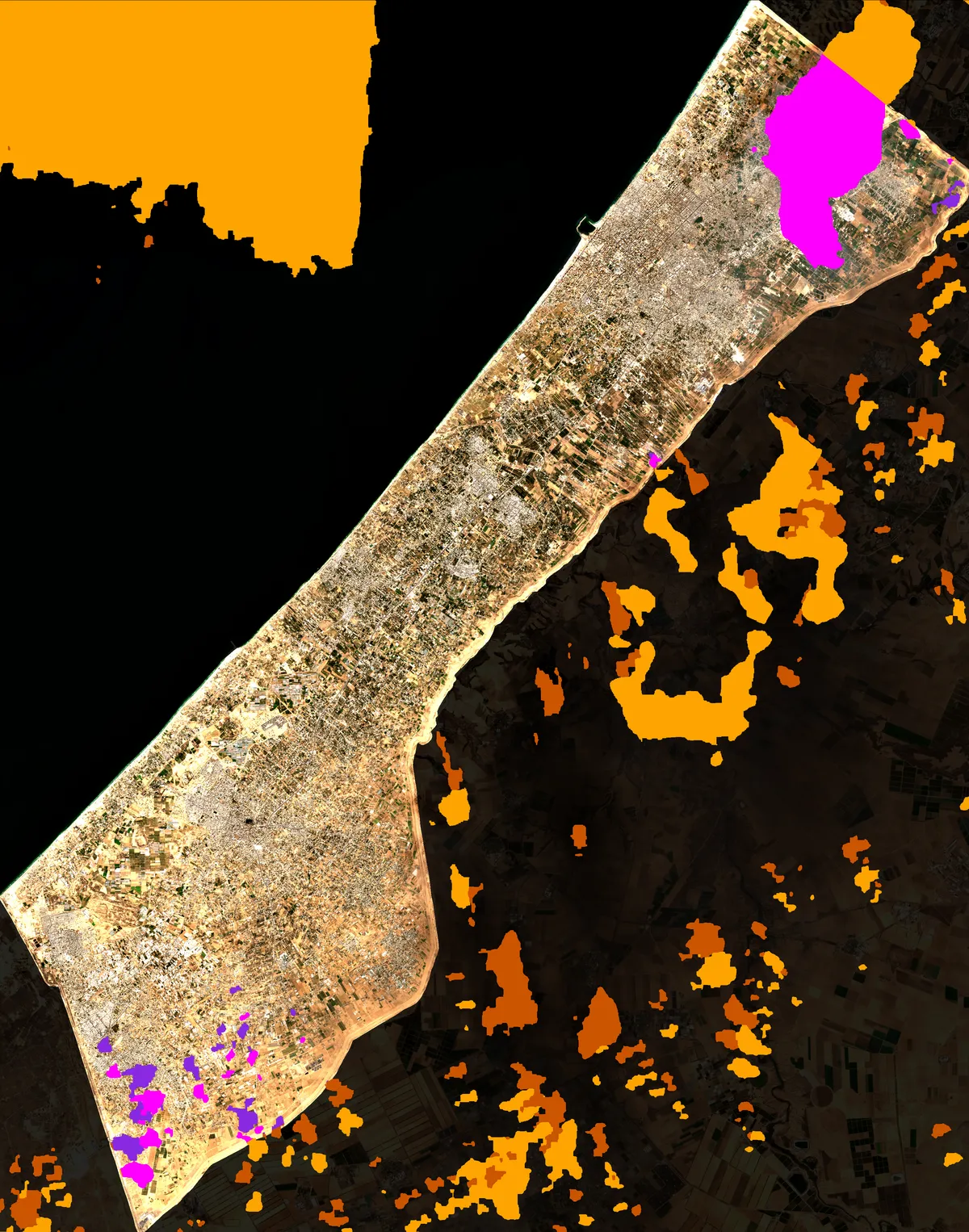
Clear
93.1%
12811123 px
Cloud
5.9%
818502 px
Shadow
1.0%
131551 px
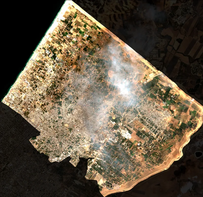
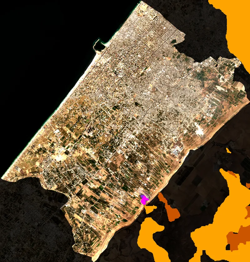
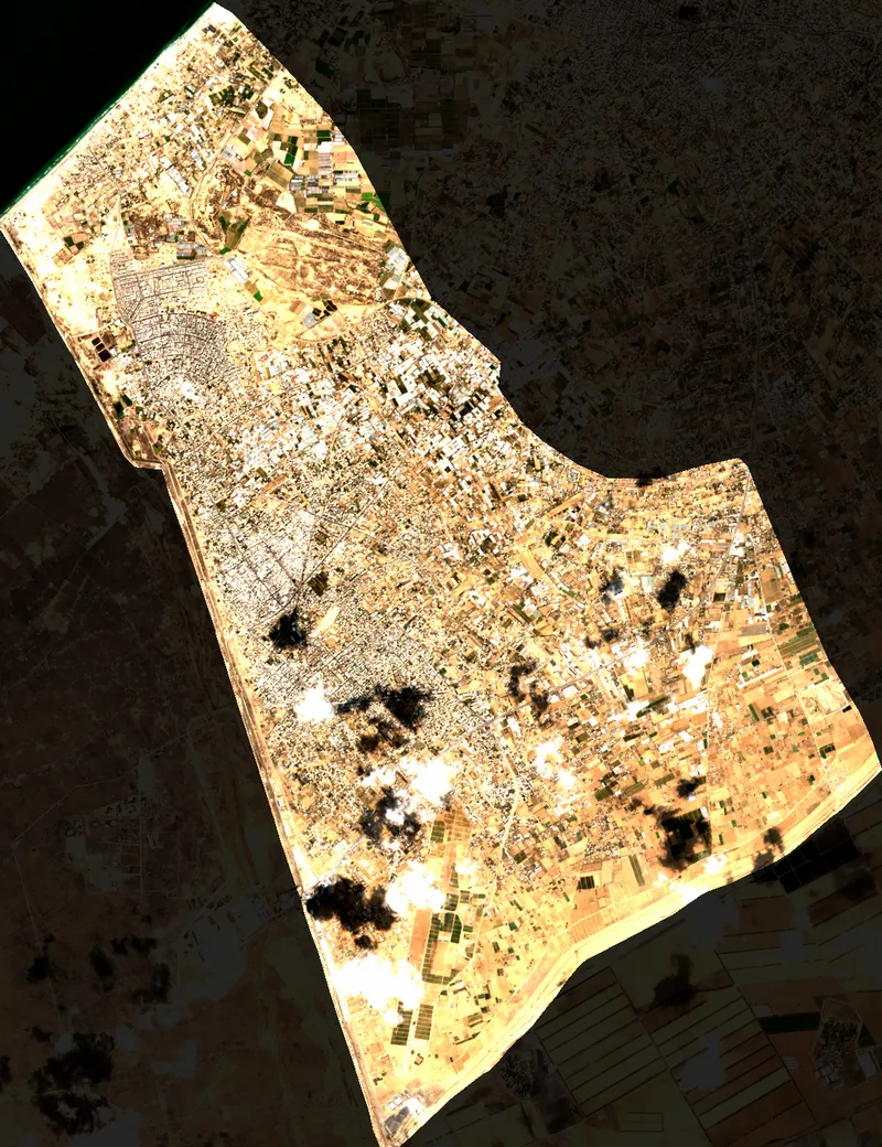
📍 North Gaza
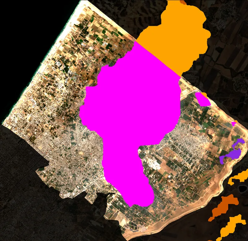
Clear
68.3%
802429 px
Cloud
31.1%
365564 px
Shadow
0.6%
6774 px
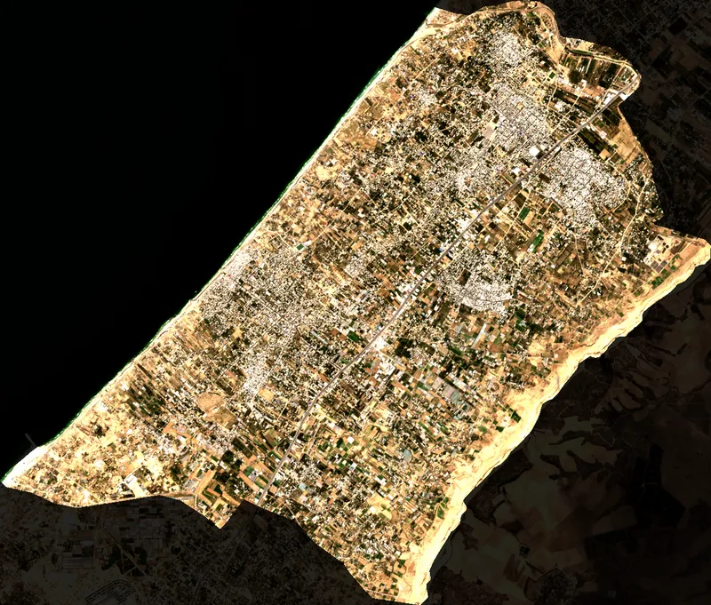
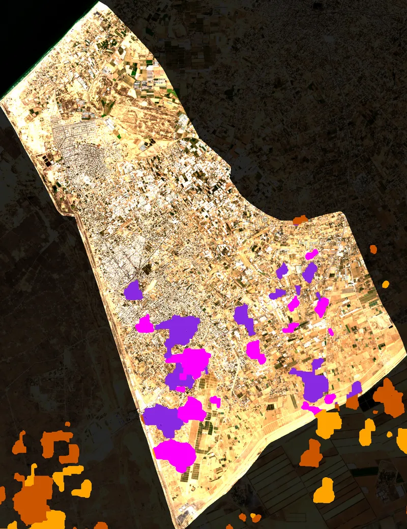
📍 Gaza City
Clear
99.8%
1735774 px
Cloud
0.1%
2438 px
Shadow
0.0%
525 px
📍 Deir al Balah

Clear
100.0%
1293600 px
Cloud
0.0%
0 px
Shadow
0.0%
0 px
📍 Khan Younis
Clear
99.9%
1837148 px
Cloud
0.0%
487 px
Shadow
0.1%
1766 px
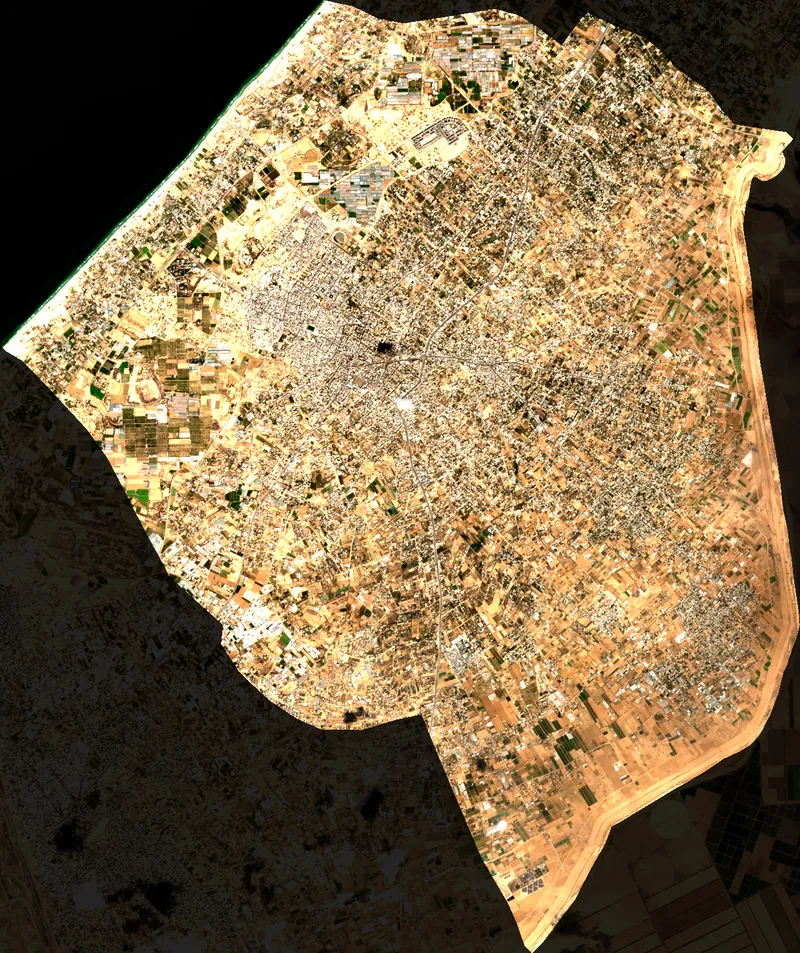
📍 Rafah
Clear
91.4%
1396699 px
Cloud
3.9%
59950 px
Shadow
4.7%
71791 px